SPECIFICATIONS
1. Technical Specifications
The following profile represents an industry-standard professional VTOL Fixed-Wing Mapping Drone (such as popular enterprise frameworks like the MS-210 or Foxtech AYK-250 class) configured with a 32,000 mAh battery:
| Specification Parameter | Industrial Mapping Drone (Typical Value) |
| Airframe Configuration | Fixed-Wing VTOL Hybrid (Vertical rotors for takeoff/landing + pusher prop for cruising) |
| Wingspan / Dimensions | 2.1 to 2.5 meters (Carbon fiber & fiberglass composite) |
| Battery Configuration | 12S High-Voltage (HV) Semi-Solid-State / Li-ion |
| Battery Capacity | 32,000 mAh (High energy density pack, ~48V to 50.4V nominal) |
| Maximum Takeoff Weight (MTOW) | 13 kg to 14 kg |
| Airframe Empty Weight | 6 kg to 7 kg (excluding battery and payload) |
| Maximum Payload Capacity | 1.2 kg to 2.0 kg (dedicated optical/sensor bay) |
| Cruising Speed | 19 to 23 meters per second |
| Flight Endurance | 3.0 to 3.5 hours (enabling massive range per battery cycle) |
| Positioning System | Dual-antenna RTK / PPK module for centimeter-level geolocation without ground control points |
2. Mapping & Surveying Payload Options
Because mapping drones prioritize aerodynamic efficiency and flight duration over heavy-lifting, their payloads are compact, highly specialized optical and laser sensors mounted on 3-axis stabilized gimbals or fixed internal recessed bays.
A. High-Resolution RGB Mapping Cameras (Photogrammetry)
Description: Full-frame or APS-C digital cameras featuring mechanical global shutters to prevent rolling shutter distortion/blur while the drone flies at high cruise speeds.
Key Specs: 24MP to 61MP resolution sensors paired with low-distortion prime lenses (e.g., Sony A7R series integrations).
Primary Applications: Creating 2D orthomosaic maps, high-definition 3D textured models, volumetric measurements (stockpile calculations in mining), and urban cadastral surveys.
B. LiDAR (Light Detection and Ranging)
Description: Active remote sensing systems that pulse thousands of laser beams per second toward the ground to calculate precise distances.
Key Specs: Lightweight industrial LiDAR units (under 1.2 kg) integrated with an Inertial Measurement Unit (IMU) and high-precision GNSS.
Primary Applications: Penetrating dense forest canopies to map bare-earth topography, engineering design for linear infrastructure (roads, railways, power lines), and high-relief terrain modeling.
C. Oblique Photography Camera Arrays
Description: Multi-lens camera setups (typically housing 1 forward/backward, 1 left, 1 right, and 1 nadir/downward camera shooting simultaneously).
Key Specs: Synchronized multi-sensor rigs engineered to capture a target from multiple angles at once.
Primary Applications: 3D digital city modeling, smart-city infrastructure planning, facade inspections, and post-disaster damage assessment.
D. Multispectral & Thermal Sensors
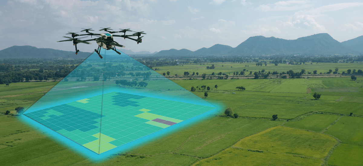
Description: Non-RGB optical payloads capturing narrow light bands (Red Edge, Near-Infrared) or thermal infrared spectrums.
Primary Applications: Environmental monitoring, water resource management, ecological habitat tracking, and industrial heat-loss or solar farm inspections.